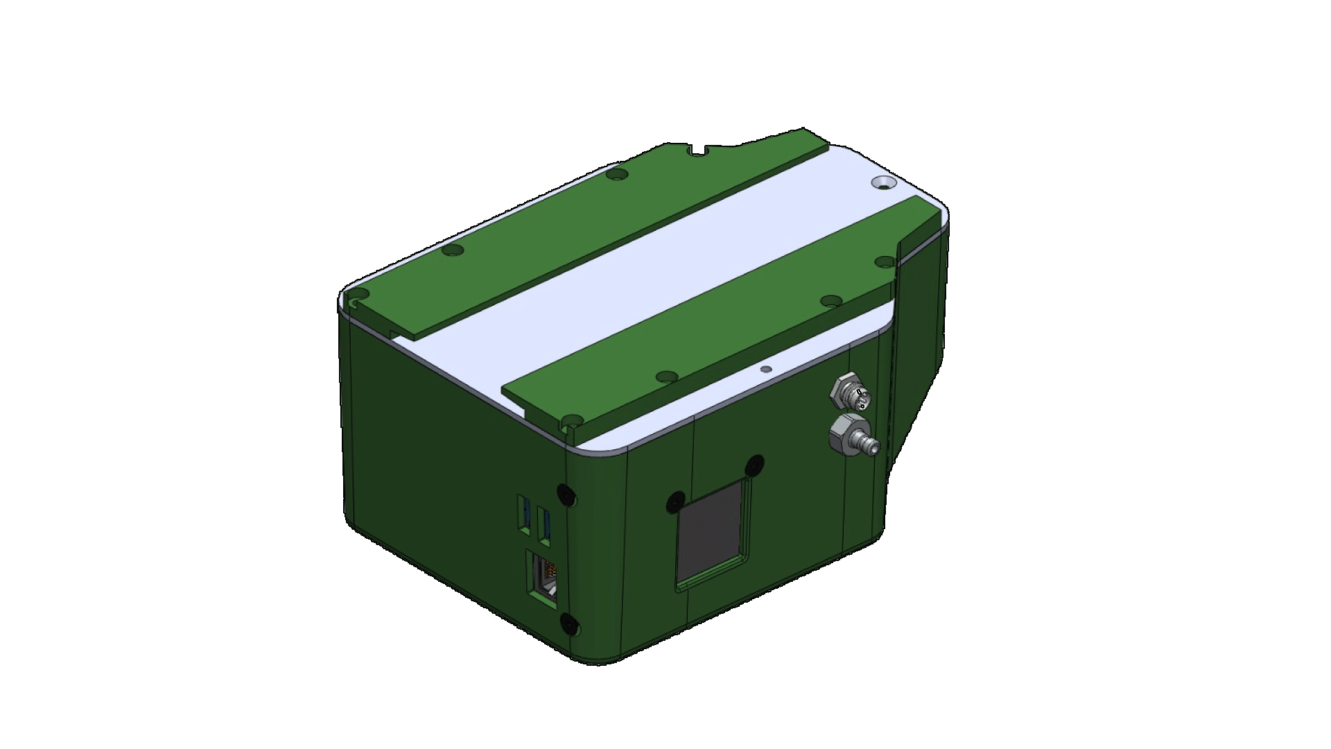

The SnifferDRONE™ is...
The industry's best available solution for detecting & quantifying land-based emissions.
System Features
-
Contains an integrated emissions monitoring system with hardware and software specifically designed for automated point-source emissions measurements.
-
Laser-guided terrain-following and patented "hozzle" enables air samples to be collected at ground surface.
-
Better process control of emissions monitoring through pre-programmed flight paths and un-biased data collection.
-
Analysis of data, include temporal gas studies, emissions quantification (estimated gas flux), & operational KPIs.
-
Versatile: useful for US EPA compliance and emissions studies.
-
>90% accurate at identifying leak sources as low as 25 parts per million (ppm).
-
50% faster than manual inspection for large terrestrial applications.
-
The most accurate, precise and efficient method for leak location
The SnifferDRONE CH4 unmanned aerial system (UAS) is changing the way surface emissions monitoring is performed because it is the most precise, most accurate method for detecting methane leak sources on land and other surfaces.
The accolades keep coming:
The patented* SnifferDRONE is an unmanned aerial system (UAS) useful for collecting land-based emissions data over large areas. The tool automates the method that is otherwise performed manually, referred to as surface emissions monitoring (SEM) providing a safer, more efficient, more effective, and comprehensive system solution.
The SnifferDRONE Payload consists of a package, designed and built by Sniffer Robotics, adapted to a commercially available unmanned aerial vehicle (UAV - drone). The integrated system includes the following:
-
Gas detector specific to purpose (Methane or Hydrogen Sulfide).
-
Flexible hose, weighted nozzle, and break-away coupling ("hozzle" system).
-
Laser-guided system to enable terrain hugging capabilities.
-
Software for flight planning, flight control, in-flight reporting, algorithms for leak source detection and data management.
During flight, the UAS continuously collects air samples from the ground through the hozzle system, pumps the air samples to the onboard detector, measures the methane concentration, and reports leak source locations with GPS coordinates with 90% accuracy at a rate of 3 Hz (3 measurements per second).
Emissions data captured by the SnifferDRONE is pushed to the cloud where algorithms and calculations are performed, providing information as required for the operation, whether for compliance or studies. Information from the cloud is pushed to our mobile app (Sniffer Field Ops™), allowing field technicians to quickly inspect and repair the location.


